
高埗镇 topographic map
Interactive map
Click on the map to display elevation.
About this map
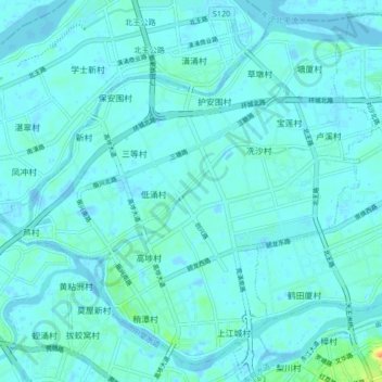
Name: 高埗镇 topographic map, elevation, terrain.
Location: 高埗镇, 东莞市, 广东省, 中国 (23.06239 113.68802 23.13321 113.77258)
Average elevation: 4 m
Minimum elevation: -14 m
Maximum elevation: 39 m
Other topographic maps
Click on a map to view its topography, its elevation and its terrain.