
长安镇 topographic map
Interactive map
Click on the map to display elevation.
About this map
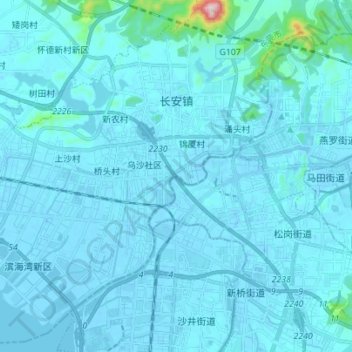
Name: 长安镇 topographic map, elevation, terrain.
Location: 长安镇, 东莞市, 广东省, 523850, 中国 (22.72695 113.69747 22.84901 113.83603)
Average elevation: 20 m
Minimum elevation: -15 m
Maximum elevation: 481 m
Other topographic maps
Click on a map to view its topography, its elevation and its terrain.