
甘河镇 topographic map
Interactive map
Click on the map to display elevation.
About this map
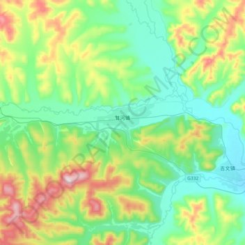
Name: 甘河镇 topographic map, elevation, terrain.
Location: 甘河镇, 鄂伦春自治旗, 呼伦贝尔市, 内蒙古自治区, 中国 (50.56478 122.93922 50.68546 123.30252)
Average elevation: 654 m
Minimum elevation: 483 m
Maximum elevation: 1,117 m
Other topographic maps
Click on a map to view its topography, its elevation and its terrain.