
阿里河镇 topographic map
Interactive map
Click on the map to display elevation.
About this map
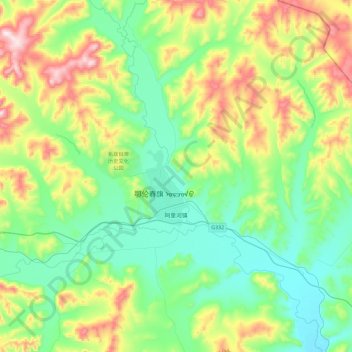
Name: 阿里河镇 topographic map, elevation, terrain.
Location: 阿里河镇, 鄂伦春自治旗, 呼伦贝尔市, 内蒙古自治区, 中国 (50.45829 123.62651 50.74954 124.08316)
Average elevation: 544 m
Minimum elevation: 390 m
Maximum elevation: 917 m
Other topographic maps
Click on a map to view its topography, its elevation and its terrain.