
呼伦贝尔 topographic map
Interactive map
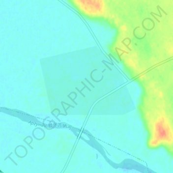
Click on the map to display elevation.
About this map
Name: 呼伦贝尔 topographic map, elevation, terrain.
Location: 呼伦贝尔, 呼伦贝尔市, 内蒙古自治区, 中国 (49.29636 118.02885 49.33636 118.06885)
Average elevation: 560 m
Minimum elevation: 552 m
Maximum elevation: 592 m
Other topographic maps
Click on a map to view its topography, its elevation and its terrain.