
根河市 topographic map
Interactive map
Click on the map to display elevation.
About this map
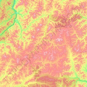
Name: 根河市 topographic map, elevation, terrain.
Location: 根河市, 呼伦贝尔市, 内蒙古自治区, 中国 (50.40806 120.17860 52.51503 122.87991)
Average elevation: 841 m
Minimum elevation: 392 m
Maximum elevation: 1,511 m
Other topographic maps
Click on a map to view its topography, its elevation and its terrain.