
扎兰屯市 topographic map
Interactive map
Click on the map to display elevation.
About this map
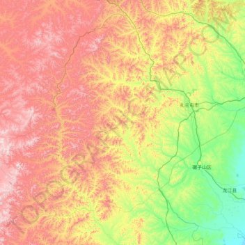
Name: 扎兰屯市 topographic map, elevation, terrain.
Location: 扎兰屯市, 呼伦贝尔市, 内蒙古自治区, 162691, 中国 (47.09442 120.48238 48.60754 123.29068)
Average elevation: 669 m
Minimum elevation: 147 m
Maximum elevation: 1,675 m
Other topographic maps
Click on a map to view its topography, its elevation and its terrain.