
河西区 topographic map
Interactive map
Click on the map to display elevation.
About this map
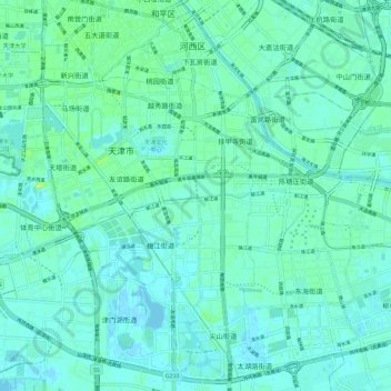
Name: 河西区 topographic map, elevation, terrain.
Location: 河西区, 天津市, 中国 (39.03216 117.17285 39.11643 117.28781)
Average elevation: 5 m
Minimum elevation: -2 m
Maximum elevation: 23 m
Other topographic maps
Click on a map to view its topography, its elevation and its terrain.