
古林街道 topographic map
Interactive map
Click on the map to display elevation.
About this map
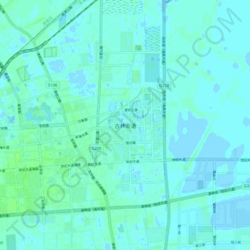
Name: 古林街道 topographic map, elevation, terrain.
Location: 古林街道, 滨海新区, 天津市, 300271, 中国 (38.81708 117.44916 38.89708 117.52916)
Average elevation: 2 m
Minimum elevation: -2 m
Maximum elevation: 7 m
Other topographic maps
Click on a map to view its topography, its elevation and its terrain.