Geolocate

白古屯村 topographic map

Interactive map

Click on the map to display elevation.

About this map

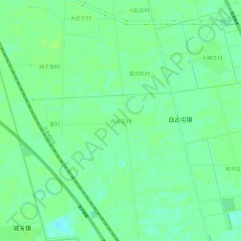
Name: 白古屯村 topographic map, elevation, terrain.

Location: 白古屯村, 武清区, 天津市, 中国 (39.52900 116.86834 39.56900 116.90834)

Average elevation: 9 m

Minimum elevation: 3 m

Maximum elevation: 12 m

Other topographic maps

Click on a map to view its topography, its elevation and its terrain.

黄花店镇

中国 > 天津市 > 武清区

黄花店镇, 武清区, 天津市, 中国

Average elevation: 10 m

高村镇

中国 > 天津市 > 武清区

高村镇, 武清区, 天津市, 中国

Average elevation: 12 m

兰城村

中国 > 天津市 > 武清区

兰城村, 武清区, 天津市, 中国

Average elevation: 12 m

崔黄口镇

中国 > 天津市 > 武清区

崔黄口镇, 武清区, 天津市, 中国

Average elevation: 6 m

西南行村

中国 > 天津市 > 武清区

西南行村, 武清区, 天津市, 301707, 中国

Average elevation: 8 m

高村

中国 > 天津市 > 武清区

高村, 武清区, 天津市, 中国

Average elevation: 13 m

南县豪村

中国 > 天津市 > 武清区

南县豪村, 武清区, 天津市, 中国

Average elevation: 6 m