
徐官屯街道 topographic map
Interactive map
Click on the map to display elevation.
About this map
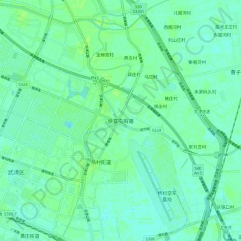
Name: 徐官屯街道 topographic map, elevation, terrain.
Location: 徐官屯街道, 天津市, 中国 (39.35630 117.03841 39.43630 117.11841)
Average elevation: 7 m
Minimum elevation: 3 m
Maximum elevation: 12 m
Other topographic maps
Click on a map to view its topography, its elevation and its terrain.