
西青区 topographic map
Interactive map
Click on the map to display elevation.
About this map
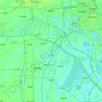
Name: 西青区 topographic map, elevation, terrain.
Location: 西青区, 天津市, 中国 (38.82038 116.87627 39.17546 117.33915)
Average elevation: 5 m
Minimum elevation: -5 m
Maximum elevation: 21 m
Other topographic maps
Click on a map to view its topography, its elevation and its terrain.