
新兴街道 topographic map
Interactive map
Click on the map to display elevation.
About this map
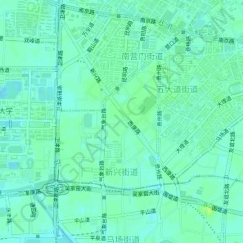
Name: 新兴街道 topographic map, elevation, terrain.
Location: 新兴街道, 和平区, 天津市, 300051, 中国 (39.09992 117.17285 39.11502 117.19045)
Average elevation: 8 m
Minimum elevation: 3 m
Maximum elevation: 15 m
Other topographic maps
Click on a map to view its topography, its elevation and its terrain.