
八里台镇 topographic map
Interactive map
Click on the map to display elevation.
About this map
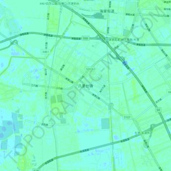
Name: 八里台镇 topographic map, elevation, terrain.
Location: 八里台镇, 天津市, 中国 (38.90621 117.29720 38.98621 117.37720)
Average elevation: 3 m
Minimum elevation: -3 m
Maximum elevation: 8 m
Other topographic maps
Click on a map to view its topography, its elevation and its terrain.