
高村镇 topographic map
Interactive map
Click on the map to display elevation.
About this map
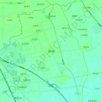
Name: 高村镇 topographic map, elevation, terrain.
Location: 高村镇, 武清区, 天津市, 中国 (39.59764 116.83608 39.67764 116.91608)
Average elevation: 12 m
Minimum elevation: 8 m
Maximum elevation: 16 m
Other topographic maps
Click on a map to view its topography, its elevation and its terrain.