
双口镇 topographic map
Interactive map
Click on the map to display elevation.
About this map
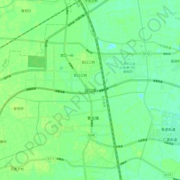
Name: 双口镇 topographic map, elevation, terrain.
Location: 双口镇, 北辰区, 天津市, 中国 (39.18667 116.99024 39.26667 117.07024)
Average elevation: 9 m
Minimum elevation: 2 m
Maximum elevation: 13 m
Other topographic maps
Click on a map to view its topography, its elevation and its terrain.