
滨海新区 topographic map
Interactive map
Click on the map to display elevation.
About this map
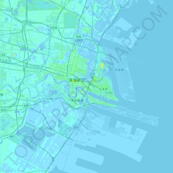
Name: 滨海新区 topographic map, elevation, terrain.
Location: 滨海新区, 天津市, 300457, 中国 (38.84158 117.55164 39.16158 117.87164)
Average elevation: 1 m
Minimum elevation: -6 m
Maximum elevation: 28 m