
金钟街道 topographic map
Interactive map
Click on the map to display elevation.
About this map
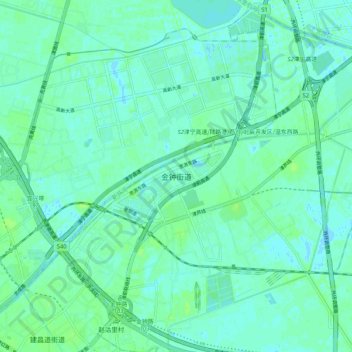
Name: 金钟街道 topographic map, elevation, terrain.
Location: 金钟街道, 东丽区, 天津市, 300000, 中国 (39.16922 117.22143 39.24922 117.30143)
Average elevation: 4 m
Minimum elevation: -2 m
Maximum elevation: 9 m
Other topographic maps
Click on a map to view its topography, its elevation and its terrain.