
共和乡 topographic map
Interactive map
Click on the map to display elevation.
About this map
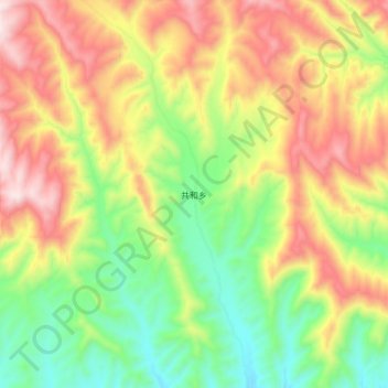
Name: 共和乡 topographic map, elevation, terrain.
Location: 共和乡, 乐都区, 海东市, 青海省, 中国 (36.50634 102.28909 36.58634 102.36909)
Average elevation: 2,378 m
Minimum elevation: 2,067 m
Maximum elevation: 2,747 m
Other topographic maps
Click on a map to view its topography, its elevation and its terrain.