
兴海县 topographic map
Interactive map
Click on the map to display elevation.
About this map
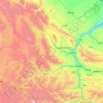
Name: 兴海县 topographic map, elevation, terrain.
Location: 兴海县, 海南藏族自治州, 青海省, 813300, 中国 (34.80532 99.01058 36.25307 100.29725)
Average elevation: 3,881 m
Minimum elevation: 2,568 m
Maximum elevation: 5,965 m
Other topographic maps
Click on a map to view its topography, its elevation and its terrain.