
桥头镇 topographic map
Interactive map
Click on the map to display elevation.
About this map
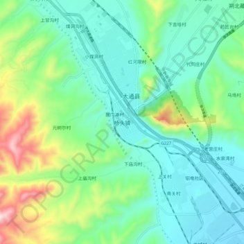
Name: 桥头镇 topographic map, elevation, terrain.
Location: 桥头镇, 大通回族土族自治县, 西宁市, 青海省, 810100, 中国 (36.88775 101.64169 36.96775 101.72169)
Average elevation: 2,575 m
Minimum elevation: 2,403 m
Maximum elevation: 3,090 m
Other topographic maps
Click on a map to view its topography, its elevation and its terrain.