
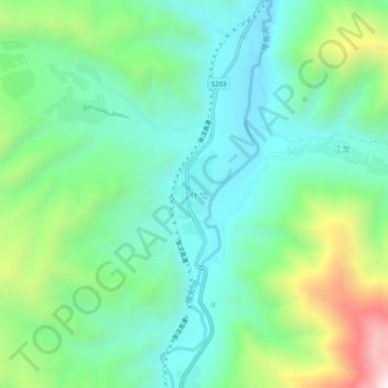
江什加 topographic map
Interactive map
Click on the map to display elevation.
About this map
Name: 江什加 topographic map, elevation, terrain.
Location: 江什加, 同仁市, 黄南藏族自治州, 青海省, 中国 (35.42920 101.94882 35.46920 101.98882)
Average elevation: 2,826 m
Minimum elevation: 2,559 m
Maximum elevation: 3,508 m
Other topographic maps
Click on a map to view its topography, its elevation and its terrain.