
苏里乡 topographic map
Interactive map
Click on the map to display elevation.
About this map
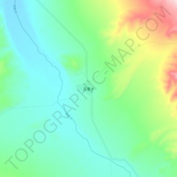
Name: 苏里乡 topographic map, elevation, terrain.
Location: 苏里乡, 天峻县, 海西蒙古族藏族自治州, 青海省, 中国 (38.66234 97.98797 38.74234 98.06797)
Average elevation: 3,759 m
Minimum elevation: 3,619 m
Maximum elevation: 4,178 m
Other topographic maps
Click on a map to view its topography, its elevation and its terrain.