
田家寨镇 topographic map
Interactive map
Click on the map to display elevation.
About this map
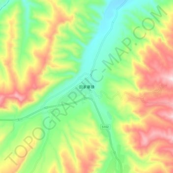
Name: 田家寨镇 topographic map, elevation, terrain.
Location: 田家寨镇, 湟中区, 西宁市, 青海省, 中国 (36.41236 101.75664 36.49236 101.83664)
Average elevation: 2,630 m
Minimum elevation: 2,395 m
Maximum elevation: 2,958 m
Other topographic maps
Click on a map to view its topography, its elevation and its terrain.