
乳源瑶族自治县 topographic map
Interactive map
Click on the map to display elevation.
About this map
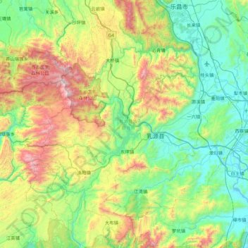
Name: 乳源瑶族自治县 topographic map, elevation, terrain.
Location: 乳源瑶族自治县, 韶关市, 广东省, 中国 (24.47042 112.87936 25.14984 113.45947)
Average elevation: 539 m
Minimum elevation: 39 m
Maximum elevation: 1,868 m
Other topographic maps
Click on a map to view its topography, its elevation and its terrain.