
增坝村 topographic map
Interactive map
Click on the map to display elevation.
About this map
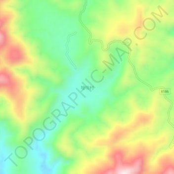
Name: 增坝村 topographic map, elevation, terrain.
Location: 增坝村, 河源市, 广东省, 中国 (24.33845 114.36729 24.37845 114.40729)
Average elevation: 598 m
Minimum elevation: 385 m
Maximum elevation: 897 m
Other topographic maps
Click on a map to view its topography, its elevation and its terrain.