
石寨村 topographic map
Interactive map
Click on the map to display elevation.
About this map
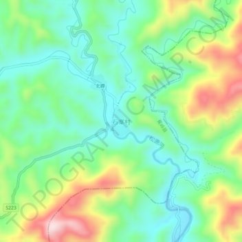
Name: 石寨村 topographic map, elevation, terrain.
Location: 石寨村, 梅州市, 广东省, 中国 (24.76280 116.34225 24.80280 116.38225)
Average elevation: 283 m
Minimum elevation: 156 m
Maximum elevation: 534 m
Other topographic maps
Click on a map to view its topography, its elevation and its terrain.