
珠海市 topographic map
Interactive map
Click on the map to display elevation.
About this map
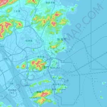
Name: 珠海市 topographic map, elevation, terrain.
Location: 珠海市, 狮山街道, 珠海市, 广东省, 519015, 中国 (22.11373 113.41213 22.43373 113.73213)
Average elevation: 20 m
Minimum elevation: -6 m
Maximum elevation: 504 m
Other topographic maps
Click on a map to view its topography, its elevation and its terrain.