
韶关市 topographic map
Interactive map
Click on the map to display elevation.
About this map
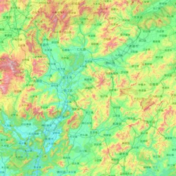
Name: 韶关市 topographic map, elevation, terrain.
Location: 韶关市, 广东省, 中国 (23.89045 112.84589 25.51952 114.74451)
Average elevation: 400 m
Minimum elevation: 22 m
Maximum elevation: 1,810 m
Other topographic maps
Click on a map to view its topography, its elevation and its terrain.