
顺天镇 topographic map
Interactive map
Click on the map to display elevation.
About this map
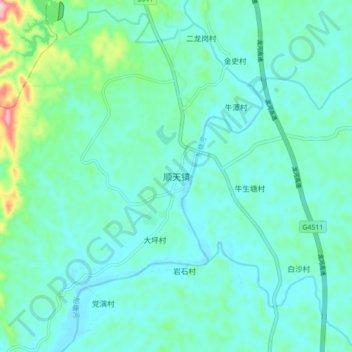
Name: 顺天镇 topographic map, elevation, terrain.
Location: 顺天镇, 河源市, 广东省, 中国 (24.06267 114.72270 24.14267 114.80270)
Average elevation: 139 m
Minimum elevation: 107 m
Maximum elevation: 291 m
Other topographic maps
Click on a map to view its topography, its elevation and its terrain.