
细格栅及旋流沉砂池 topographic map
Interactive map
Click on the map to display elevation.
About this map
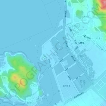
Name: 细格栅及旋流沉砂池 topographic map, elevation, terrain.
Location: 细格栅及旋流沉砂池, 柘林镇, 饶平县, 潮州市, 广东省, 中国 (23.57535 117.08201 23.57548 117.08221)
Average elevation: 8 m
Minimum elevation: -1 m
Maximum elevation: 113 m
Other topographic maps
Click on a map to view its topography, its elevation and its terrain.