
北滘镇 topographic map
Interactive map
Click on the map to display elevation.
About this map
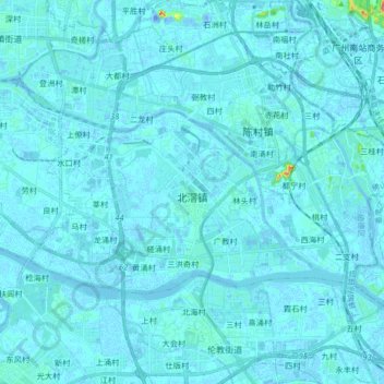
Name: 北滘镇 topographic map, elevation, terrain.
Location: 北滘镇, 顺德区, 佛山市, 广东省, 528311, 中国 (22.89271 113.12785 22.97312 113.29306)
Average elevation: 3 m
Minimum elevation: -30 m
Maximum elevation: 77 m
Other topographic maps
Click on a map to view its topography, its elevation and its terrain.