
东海水道 topographic map
Interactive map
Click on the map to display elevation.
About this map
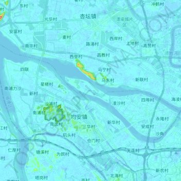
Name: 东海水道 topographic map, elevation, terrain.
Location: 东海水道, 佛山市, 广东省, 中国 (22.70069 113.07500 22.77246 113.21970)
Average elevation: 3 m
Minimum elevation: -11 m
Maximum elevation: 91 m
Other topographic maps
Click on a map to view its topography, its elevation and its terrain.