
蓝口镇 topographic map
Interactive map
Click on the map to display elevation.
About this map
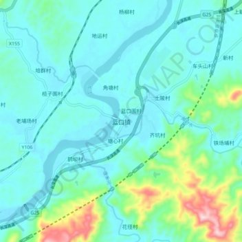
Name: 蓝口镇 topographic map, elevation, terrain.
Location: 蓝口镇, 河源市, 广东省, 中国 (23.91034 115.04101 23.99034 115.12101)
Average elevation: 105 m
Minimum elevation: 43 m
Maximum elevation: 400 m
Other topographic maps
Click on a map to view its topography, its elevation and its terrain.