
天河南街道 topographic map
Interactive map
Click on the map to display elevation.
About this map
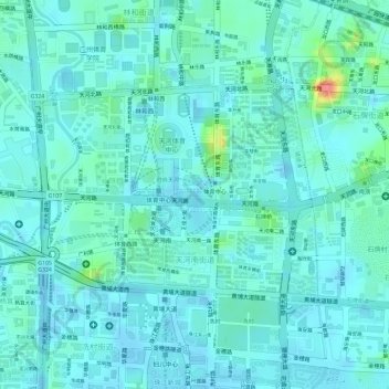
Name: 天河南街道 topographic map, elevation, terrain.
Location: 天河南街道, 天河区, 广州市, 广东省, 510620, 中国 (23.12915 113.30921 23.14414 113.33063)
Average elevation: 14 m
Minimum elevation: -6 m
Maximum elevation: 80 m
Other topographic maps
Click on a map to view its topography, its elevation and its terrain.