
兴坪镇 topographic map
Interactive map
Click on the map to display elevation.
About this map
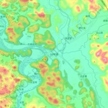
Name: 兴坪镇 topographic map, elevation, terrain.
Location: 兴坪镇, 桂林市, 广西壮族自治区, 541906, 中国 (24.87985 110.48784 24.95985 110.56784)
Average elevation: 208 m
Minimum elevation: 60 m
Maximum elevation: 558 m
Other topographic maps
Click on a map to view its topography, its elevation and its terrain.