
平头 topographic map
Interactive map
Click on the map to display elevation.
About this map
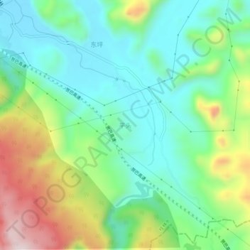
Name: 平头 topographic map, elevation, terrain.
Location: 平头, 桂林市, 广西壮族自治区, 中国 (24.32404 110.33598 24.36404 110.37598)
Average elevation: 377 m
Minimum elevation: 219 m
Maximum elevation: 712 m
Other topographic maps
Click on a map to view its topography, its elevation and its terrain.