
龙头山 topographic map
Interactive map
Click on the map to display elevation.
About this map
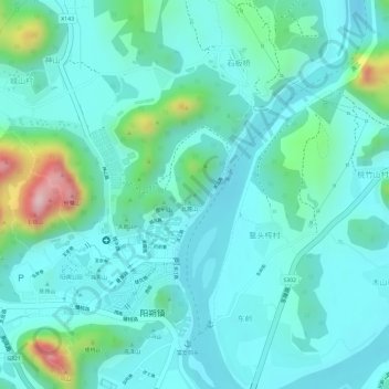
Name: 龙头山 topographic map, elevation, terrain.
Location: 龙头山, 桂林市, 广西壮族自治区, 541999, 中国 (24.78466 110.49413 24.78476 110.49423)
Average elevation: 148 m
Minimum elevation: 91 m
Maximum elevation: 367 m
Other topographic maps
Click on a map to view its topography, its elevation and its terrain.