
两江镇 topographic map
Interactive map
Click on the map to display elevation.
About this map
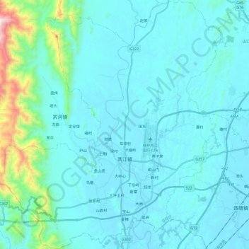
Name: 两江镇 topographic map, elevation, terrain.
Location: 两江镇, 临桂区, 桂林市, 广西壮族自治区, 中国 (25.13003 109.90493 25.33488 110.10839)
Average elevation: 258 m
Minimum elevation: 146 m
Maximum elevation: 1,219 m
Other topographic maps
Click on a map to view its topography, its elevation and its terrain.