
响岩镇 topographic map
Interactive map
Click on the map to display elevation.
About this map
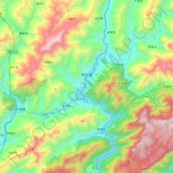
Name: 响岩镇 topographic map, elevation, terrain.
Location: 响岩镇, 平武县, 绵阳市, 四川省, 中国 (31.99355 104.69706 32.17448 104.89142)
Average elevation: 1,211 m
Minimum elevation: 608 m
Maximum elevation: 2,266 m
Other topographic maps
Click on a map to view its topography, its elevation and its terrain.