
龙安镇 topographic map
Interactive map
Click on the map to display elevation.
About this map
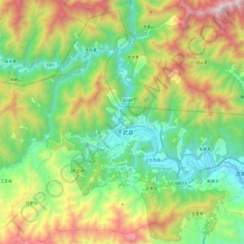
Name: 龙安镇 topographic map, elevation, terrain.
Location: 龙安镇, 平武县, 绵阳市, 四川省, 中国 (32.32723 104.42996 32.50721 104.61816)
Average elevation: 1,528 m
Minimum elevation: 787 m
Maximum elevation: 2,926 m
Other topographic maps
Click on a map to view its topography, its elevation and its terrain.