
虎牙藏族乡 topographic map
Interactive map
Click on the map to display elevation.
About this map
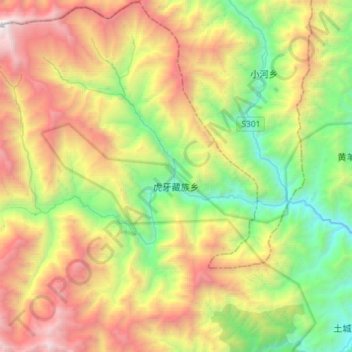
Name: 虎牙藏族乡 topographic map, elevation, terrain.
Location: 虎牙藏族乡, 平武县, 绵阳市, 四川省, 中国 (32.41159 103.84333 32.65426 104.13349)
Average elevation: 2,682 m
Minimum elevation: 1,180 m
Maximum elevation: 4,983 m
Other topographic maps
Click on a map to view its topography, its elevation and its terrain.