
高村乡 topographic map
Interactive map
Click on the map to display elevation.
About this map
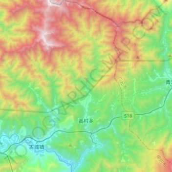
Name: 高村乡 topographic map, elevation, terrain.
Location: 高村乡, 平武县, 绵阳市, 四川省, 中国 (32.34760 104.64287 32.56268 104.79901)
Average elevation: 1,691 m
Minimum elevation: 763 m
Maximum elevation: 3,476 m
Other topographic maps
Click on a map to view its topography, its elevation and its terrain.