
平南羌族乡 topographic map
Interactive map
Click on the map to display elevation.
About this map
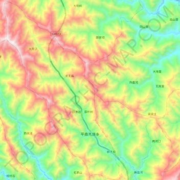
Name: 平南羌族乡 topographic map, elevation, terrain.
Location: 平南羌族乡, 平武县, 绵阳市, 四川省, 中国 (32.13240 104.53522 32.31104 104.67243)
Average elevation: 1,407 m
Minimum elevation: 785 m
Maximum elevation: 2,268 m
Other topographic maps
Click on a map to view its topography, its elevation and its terrain.