
丹江口市 topographic map
Interactive map
Click on the map to display elevation.
About this map
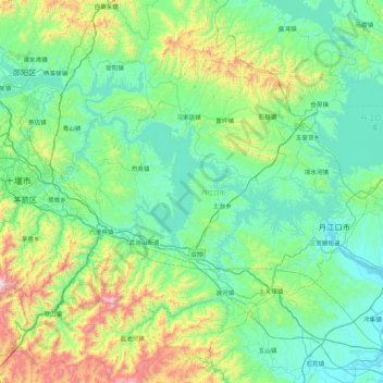
Name: 丹江口市 topographic map, elevation, terrain.
Location: 丹江口市, 十堰市, 湖北省, 441904, 中国 (32.24368 110.79835 32.97218 111.57990)
Average elevation: 373 m
Minimum elevation: 80 m
Maximum elevation: 1,623 m
Other topographic maps
Click on a map to view its topography, its elevation and its terrain.