
郧西县 topographic map
Interactive map
Click on the map to display elevation.
About this map
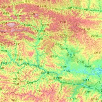
Name: 郧西县 topographic map, elevation, terrain.
Location: 郧西县, 十堰市, 湖北省, 中国 (32.78300 109.43630 33.27277 110.67004)
Average elevation: 760 m
Minimum elevation: 138 m
Maximum elevation: 2,023 m
Other topographic maps
Click on a map to view its topography, its elevation and its terrain.