
积玉口镇 topographic map
Interactive map
Click on the map to display elevation.
About this map
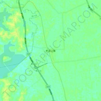
Name: 积玉口镇 topographic map, elevation, terrain.
Location: 积玉口镇, 潜江市, 湖北省, 中国 (30.41534 112.55025 30.49534 112.63025)
Average elevation: 31 m
Minimum elevation: 24 m
Maximum elevation: 39 m
Other topographic maps
Click on a map to view its topography, its elevation and its terrain.