
马坪镇 topographic map
Interactive map
Click on the map to display elevation.
About this map
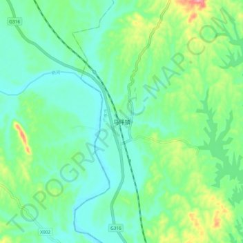
Name: 马坪镇 topographic map, elevation, terrain.
Location: 马坪镇, 广水市, 随州市, 湖北省, 中国 (31.55898 113.50944 31.63898 113.58944)
Average elevation: 73 m
Minimum elevation: 41 m
Maximum elevation: 160 m
Other topographic maps
Click on a map to view its topography, its elevation and its terrain.