
云梦县 topographic map
Interactive map
Click on the map to display elevation.
About this map
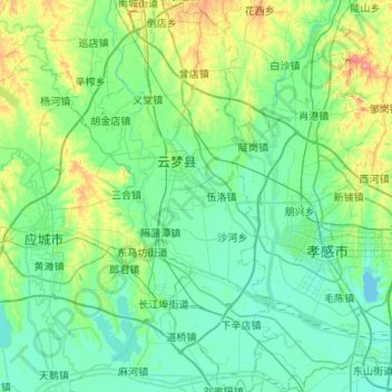
Name: 云梦县 topographic map, elevation, terrain.
Location: 云梦县, 孝感市, 湖北省, 中国 (30.75417 113.62745 31.21002 113.88374)
Average elevation: 35 m
Minimum elevation: 18 m
Maximum elevation: 107 m
Other topographic maps
Click on a map to view its topography, its elevation and its terrain.