
业州镇 topographic map
Interactive map
Click on the map to display elevation.
About this map
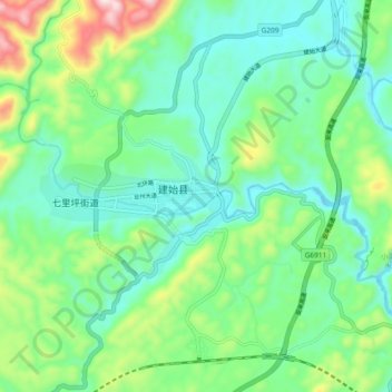
Name: 业州镇 topographic map, elevation, terrain.
Location: 业州镇, 建始县, 恩施土家族苗族自治州, 湖北省, 中国 (30.56319 109.68271 30.64319 109.76271)
Average elevation: 658 m
Minimum elevation: 522 m
Maximum elevation: 1,028 m
Other topographic maps
Click on a map to view its topography, its elevation and its terrain.